Vegetation
A window into some of the projects I lead or contribute to.

Long-Term Monitoring Data: Murray-Darling Basin
The Flow Monitoring, Evaluation and Research program (Flow-MER) monitors environmental outcomes from Commonwealth environmental water management in the Murray-Darling Basin.
Annual monitoring data from 2014 onwards are published openly to Data.gov.au building a valuable public resource of long-term species and environmental data.
Project Details...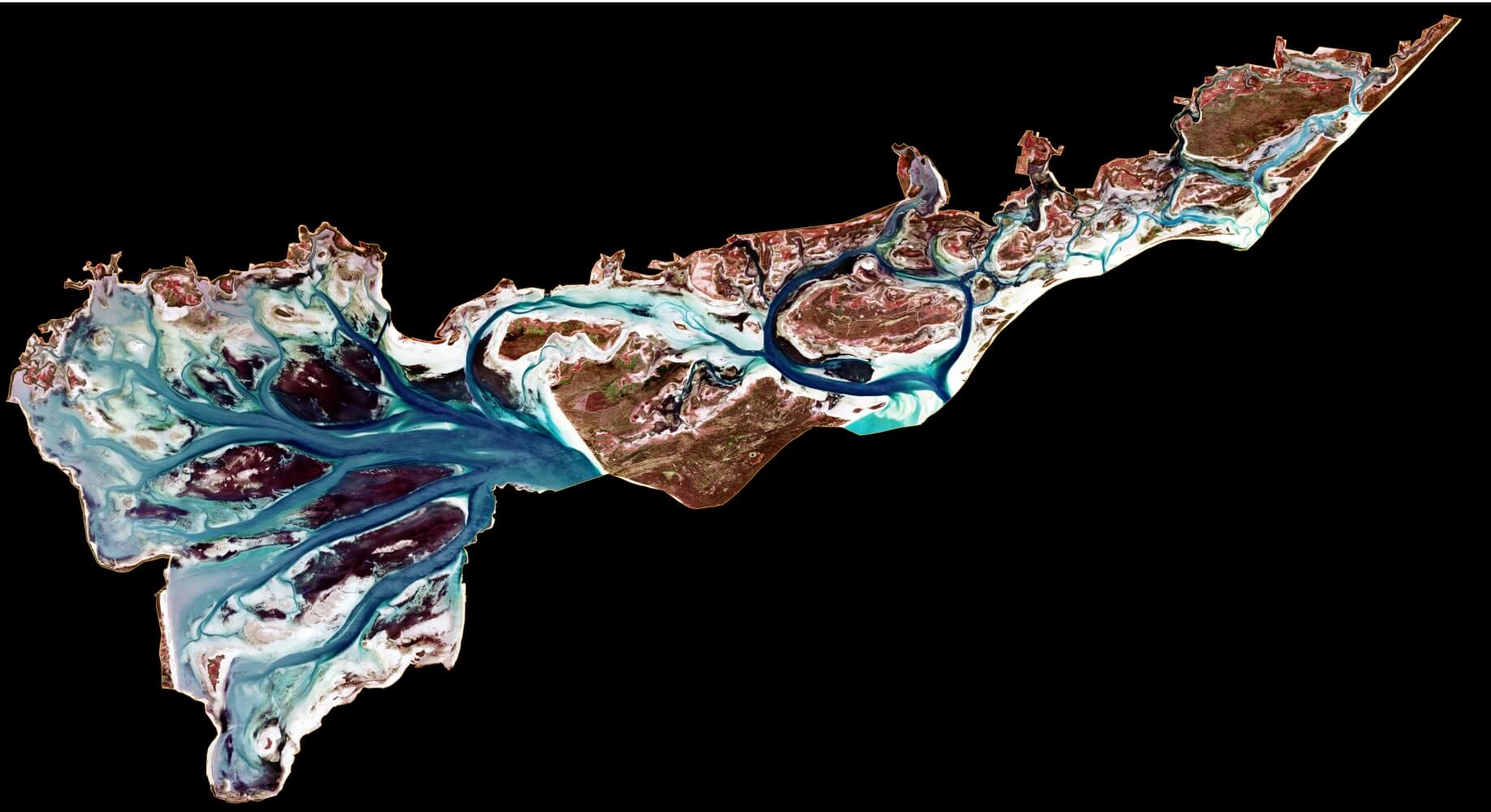
Seagrass mapping from Sentinel-2 at Ramsar sites
Seagrass is an important component of a number of Victoria's shallow water embayments that are listed by the Australian Government as wetlands of international importance:
- The Port Phillip (Western Shoreline) and Bellarine Peninsula Ramsar Site
- The Corner Inlet Ramsar Site
- The Gippsland Lakes Ramsar Site
Simple maximum likelihood classification of Sentinel-2 imagery has provided a cost effective way to monitor seasonal and inter-annual shifts in seagrass extent at these sites. It does require clear skys and water!
Project Details...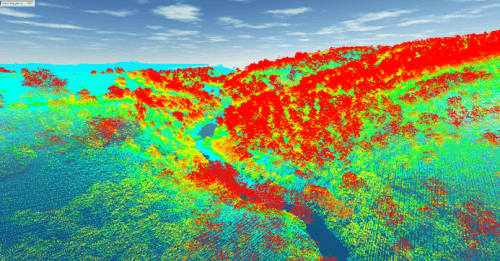
Riparian LiDAR change assessment and river mapping
This project is mapping river banks, the channel and riparian vegetation in GIS from aerial LiDAR data collected by Victoria's Department of Land, Water and Planning (DELWP).
LiDAR stands for Light Detection and Ranging. An aircraft mounted laser scans the landscape measuring the distance to the ground. Vegetation cover and structure is captured in the laser reflections that are above the ground.
Project Details...